Cycling routes
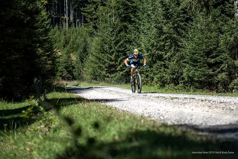
Cycle along well-signposted tours through green Pohorje.
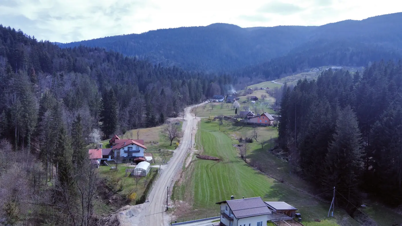
For the development of green tourism, Lovrenc na Pohorju has wonderfully signposted cycling routes as well as well-kept walking and mountain trails. Mountain hiking is very popular. Waymarked trails lead to Rdeči breg, Koglerjev vrh, Klopni vrh and Pesek. The most beautiful of all is certainly the trail to the Lovrenc Lakes – a bog at the top of Pohorje with 11 small lakes. As Lovrenc is surrounded by vast forests, which have always left a strong mark on life in Lovrenc, we have laid out the Ruta Forest Educational Trail. It is about three kilometres long, and along it you can see tree species not native to Pohorje: Lawson cypress, Douglas fir and eastern white pine. The trail runs through the Štiblerjev vrh forest reserve.
NOTES:
- All cycling tours start in front of the Tourist Office.
KEY:
TOUR: the name of the cycling tour. The name usually refers to the geographical name of the area where the tour is located. Click the link to open BIKEMAP, where you will find a map of the cycling tour and an elevation profile. Additional options:
- export a GPX or KML file for your GPS receiver
- print the cycling route
- preview the elevation profile of the cycling tour
DIFFICULTY: the difficulty of the cycling tour is graded according to the difficulty scale for cycle touring.
LENGTH: tells you how long the cycling tour is.
ASCENT: tells you the total metres of ascent on the cycling tour.
HIGHEST POINT: tells you the highest altitude reached on the cycling tour.
SURFACE: tells you what kind of ground the cycling tour runs on.
GPS TRACK: click the chosen file to download it to your computer. You can use it for:
- previewing the route in Google Earth
- a track for your GPS receiver
The routes were prepared by Kolesarsko društvo Lovrenc (Lovrenc Cycling Club).
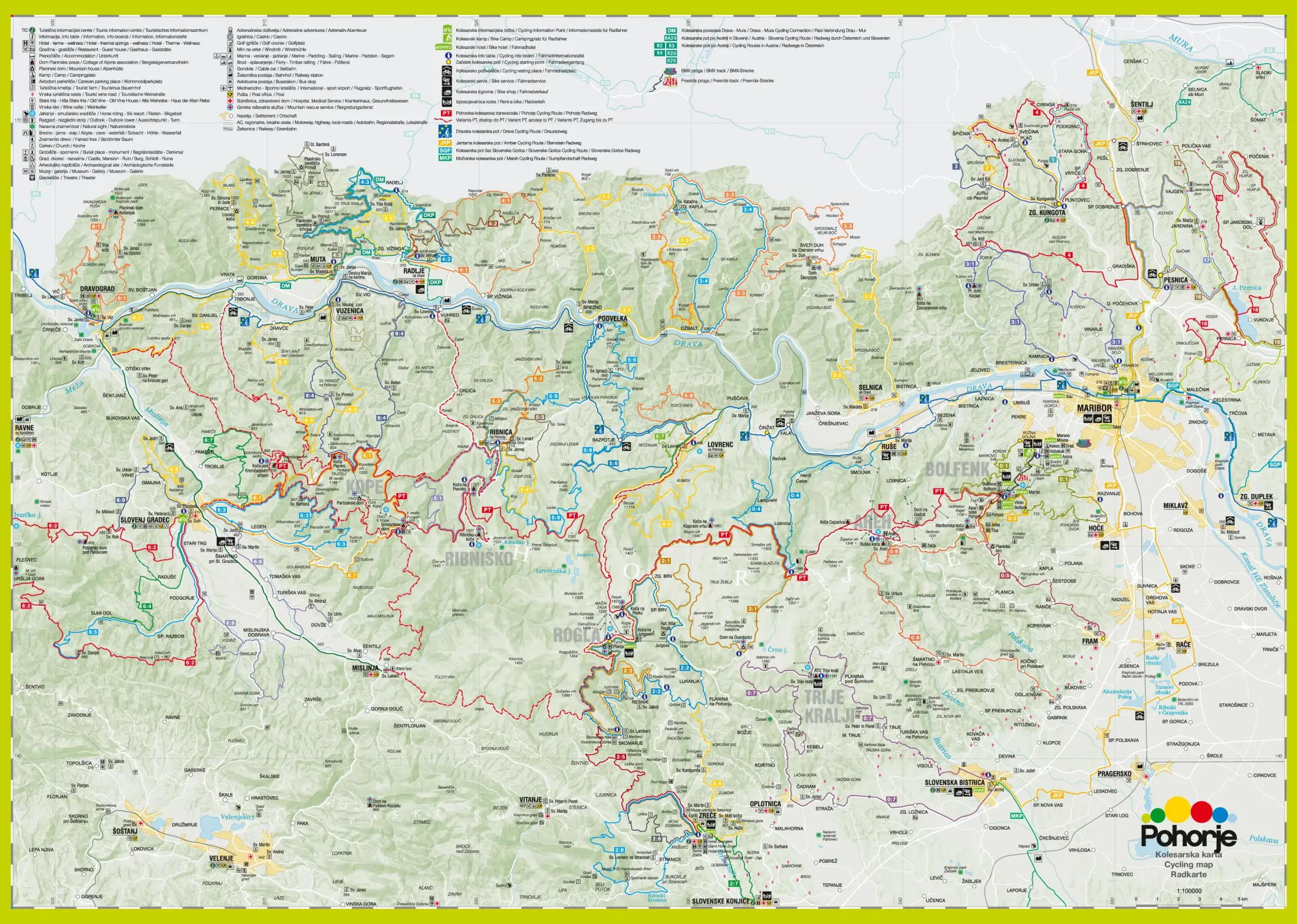
In September 2010, Zavod za turizem Maribor (Maribor Tourist Board), in cooperation with our cycling club, updated the content of the Pohorje cycling map, which you can download at the bottom of this page or pick up at the office of the Tourist Association.
Pohorje cycling map
Cycling routes
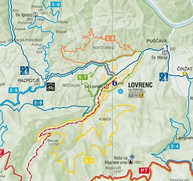
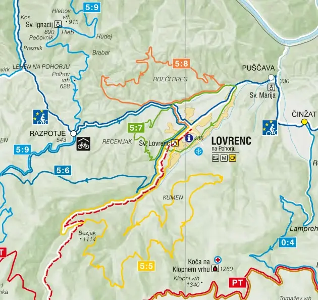
Cycling routes around Lovrenc (Pohorje, Slovenia)
The circular Cycling Route 4 – Lovrenc na Pohorju (44 km) and the Kumen Tour (28 km) have a GPX track to download to your phone or GPS. All routes are also shown on the map.
Gallery