Access:
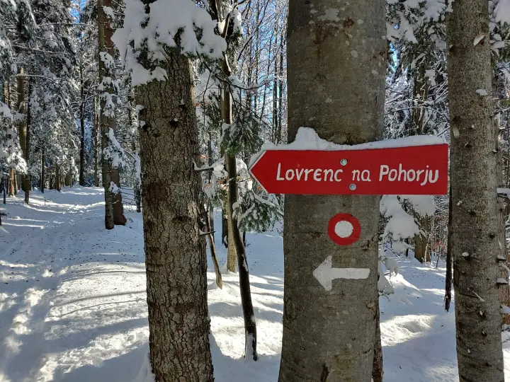
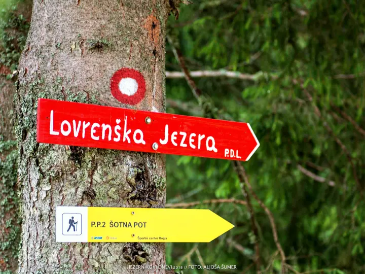
From Lovrenc past the former Bittner guesthouse and the Grobelnik farm, or from Lovrenc to Kumen and on to Rothoba. The two trails then join. The trail is waymarked.
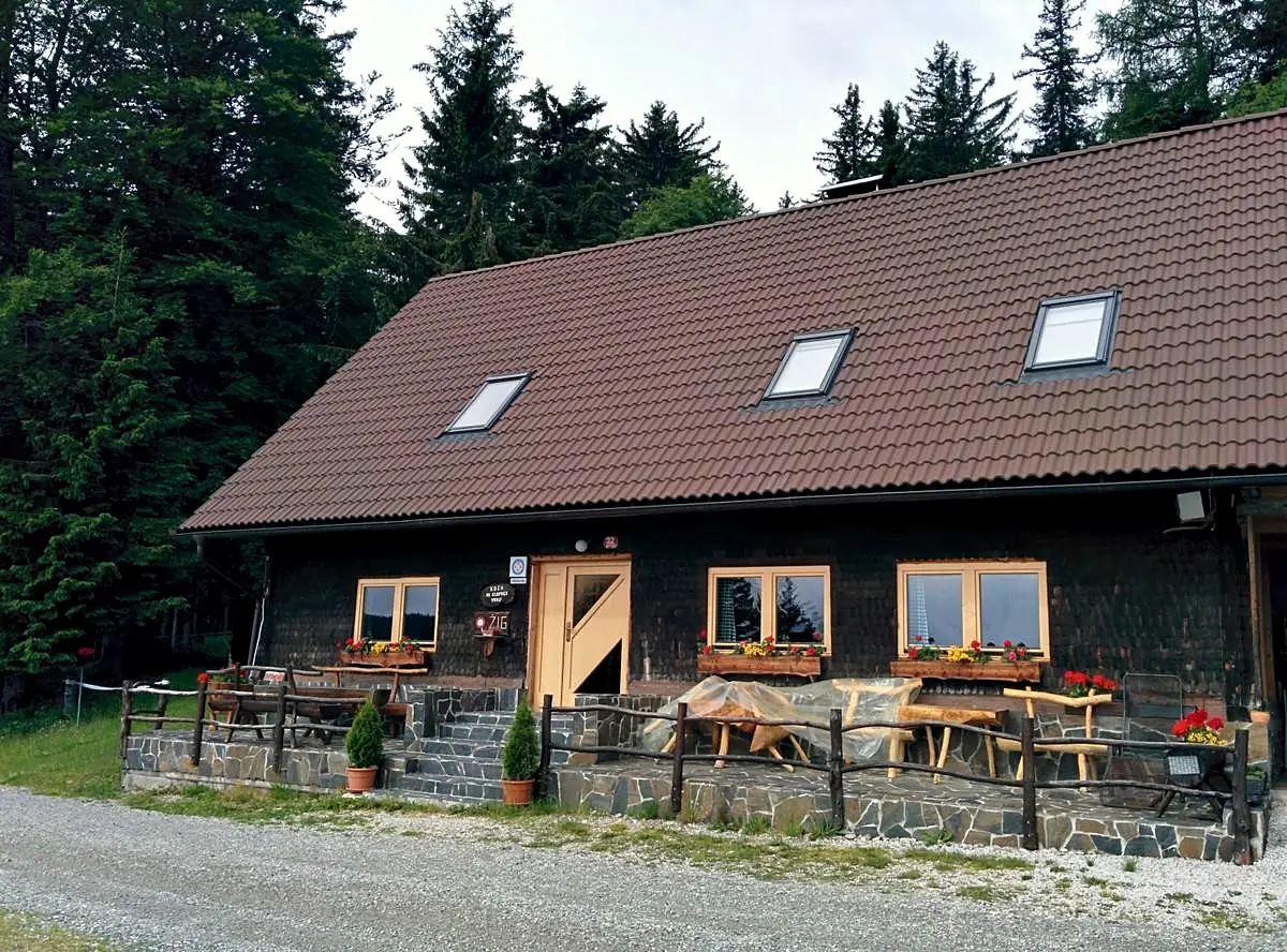
It takes 2 h to reach the hut on Klopni vrh. (The hut has been CLOSED since 2018, but the trails in the area are still maintained.)
Along the forest road it is 17 km from Lovrenc and 10 km from Činžat above Fala.
Excursions:
- Hut on Pesek – 2 h
- Šumik Waterfall – 2 h
- Areh – 3 h
- Over Smolnik past Fišer žaga to Ruše – 3 h
- Tiho jezero (Fala fish pond) – 45 min