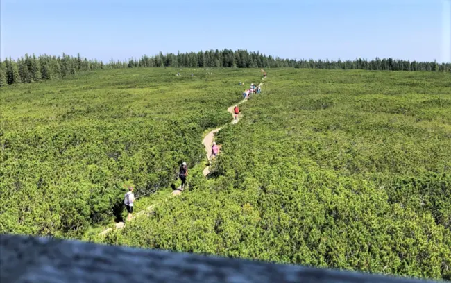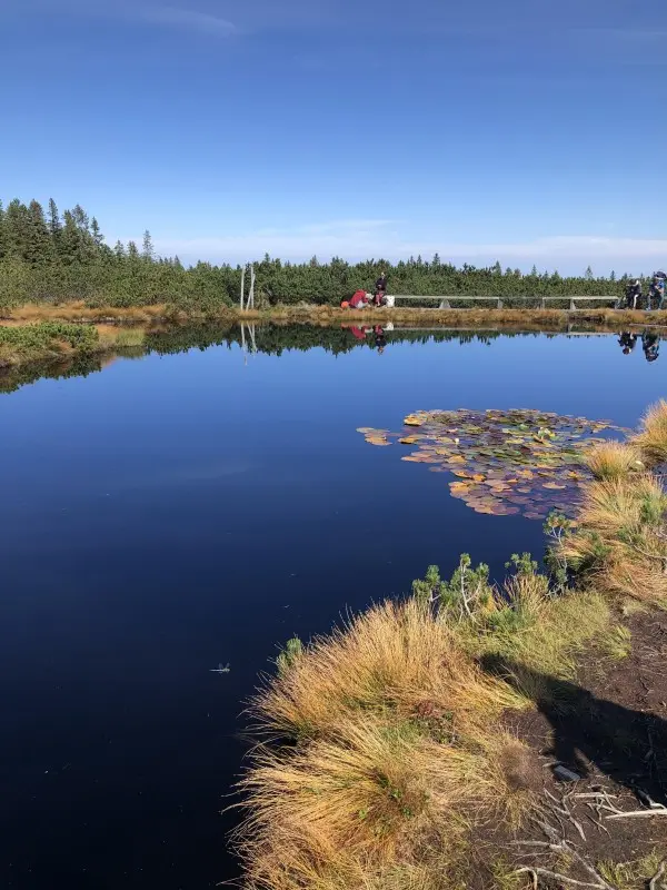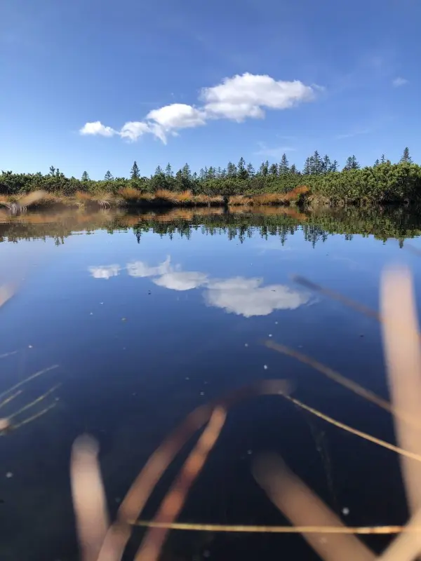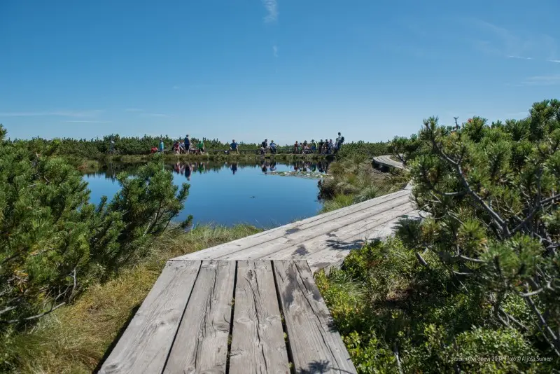
They lie in a peat bog on Pohorje (16 ha) between Planinka (1391 m) and Mulejev vrh (1533 m), at the source of the Radoljna, Mislinja and Velka. There are 11 to 22 small lakes, depending on how long the water lasts. They are up to 1.5 m deep, and the largest has a surface area of around 7 m2. The peat layer reaches a depth of 290 cm. Most of the lake area is overgrown with dwarf mountain pine. Typical plants include bog rosemary, round-leaved sundew, false asphodel and others.
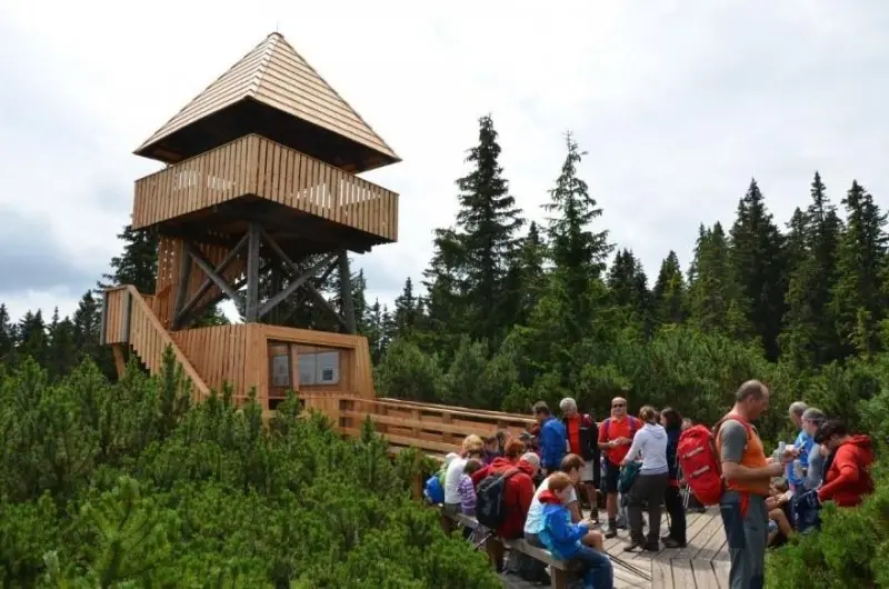
At the edge of the lake area there is an observation tower, and wooden boardwalks lead to some of the small lakes.
Route description
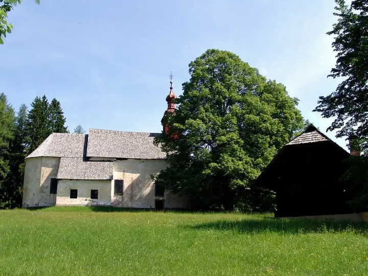
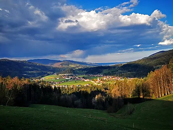
We start at the Tourist Office and, passing the cultural centre and the Parish Church of St Lawrence, head west along an asphalt road. After 500 m we reach the Hojnik »rida« (ridge), which offers a fine view over the whole Lovrenc basin.
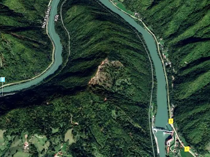
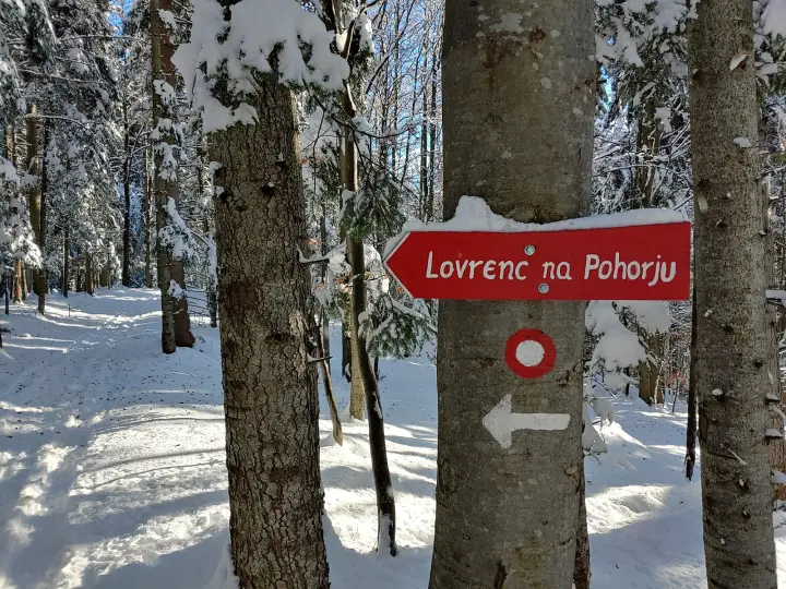
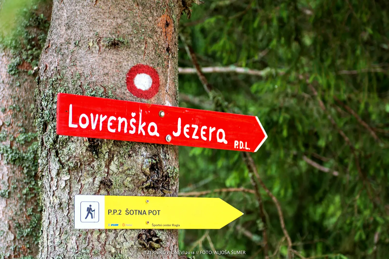
We leave the road for the forest and follow the ridge past farms to the Vrelenk clearing (1170 m). From here we can admire the Drava Valley and the towns along it: Selnica, Ruše and Maribor. We continue along steep, old cart tracks. When we emerge from the forest, we are almost at »Jezerje«, as the older locals call it; we only have to skirt the boggy, impassable terrain and approach the lakes from the south (joining the Ribniška koča – Pesek trail). A path laid with wooden boardwalks takes us past the observation tower (1525 m) to the small lakes.
From the Lovrenc Lakes we head south-east along the waymarked mountain trail towards Mašin žaga (the lower station of the Planja chairlift, which runs to the top of Rogla every hour in summer) and the hut on Pesek (1385 m). From Pesek we continue along the road towards Zgornja brv, or better still along the parallel forest path. From the »brv« (footbridge), those who are tired will descend via Petelinova ravna into the valley of the Plešičica stream, while the better prepared will continue over the Skrbinsko gorovje to the hut on Klopni vrh and on via Turn to Lovrenc.
The route described can be walked in full (9 h) or by combining sections:
Lovrenc – Lovrenc Lakes: 3.30 h
Lovrenc Lakes – hut on Pesek: 1.30 h
hut on Pesek – Zgornja brv: 0.45 h
Zgornja brv – Lovrenc: 2 h
Zgornja brv – hut on Klopni vrh: 1.15 h
Klopni vrh – Lovrenc: 2 h
A shorter variant is to drive to the lower station of the Mašin žaga chairlift or to the top of Rogla and follow the waymarked trails to the Lovrenc Lakes, a good hour away.
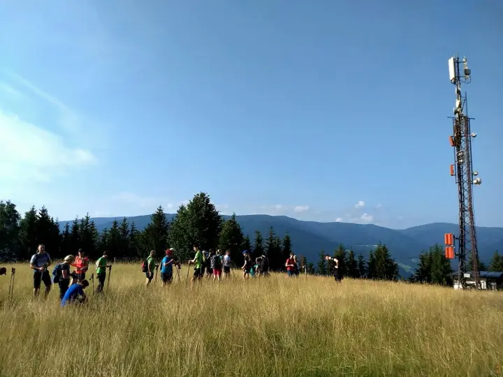
Every year on the 2nd Saturday in August, the traditional hike to the Lovrenc Lakes takes place along a shortened route.
Route details
Lowest point: 460 m (Lovrenc Tourist Office)
Highest point: 1529 m (Lovrenc Lakes)
Height difference: 1400 m
Walking time: 3 hours 30 min for the ascent to the Lovrenc Lakes, 9 hours for the whole route
Difficulty: moderately demanding trail (due to its length)
Literature: Pohorje map 1:50,000 (PZS)