Route description
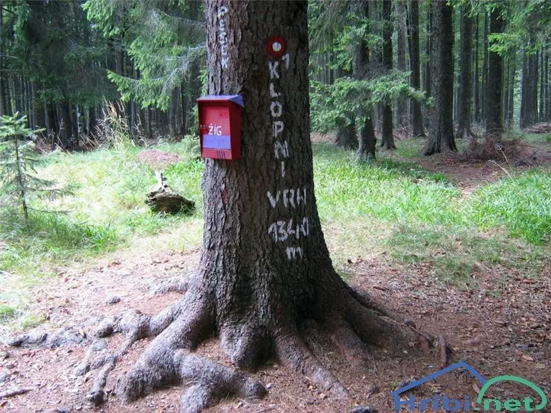
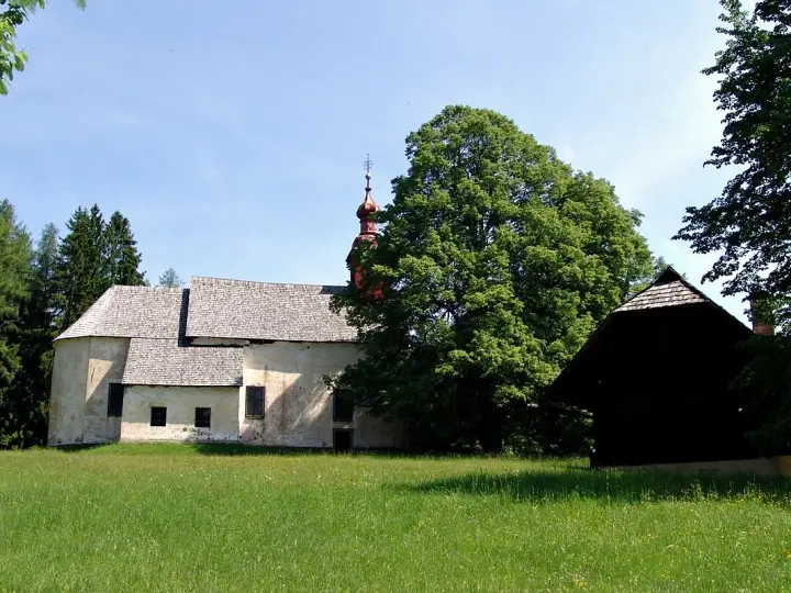
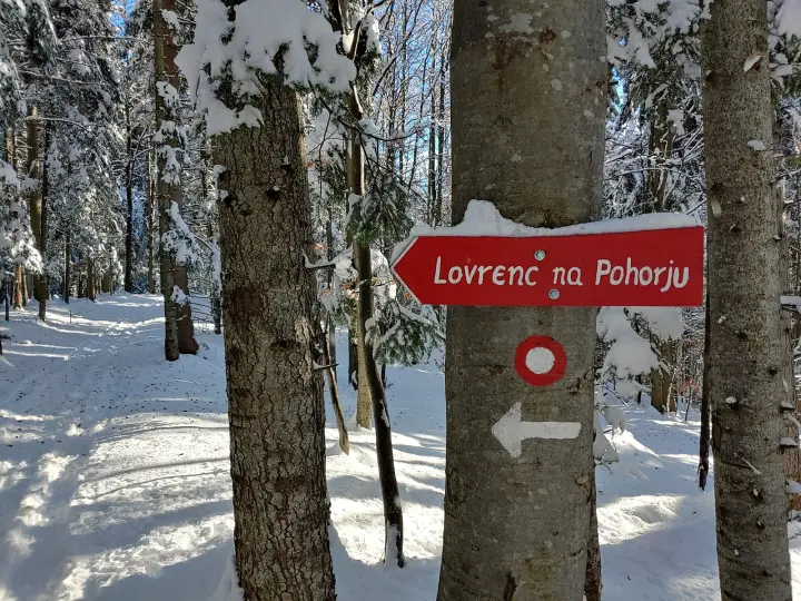
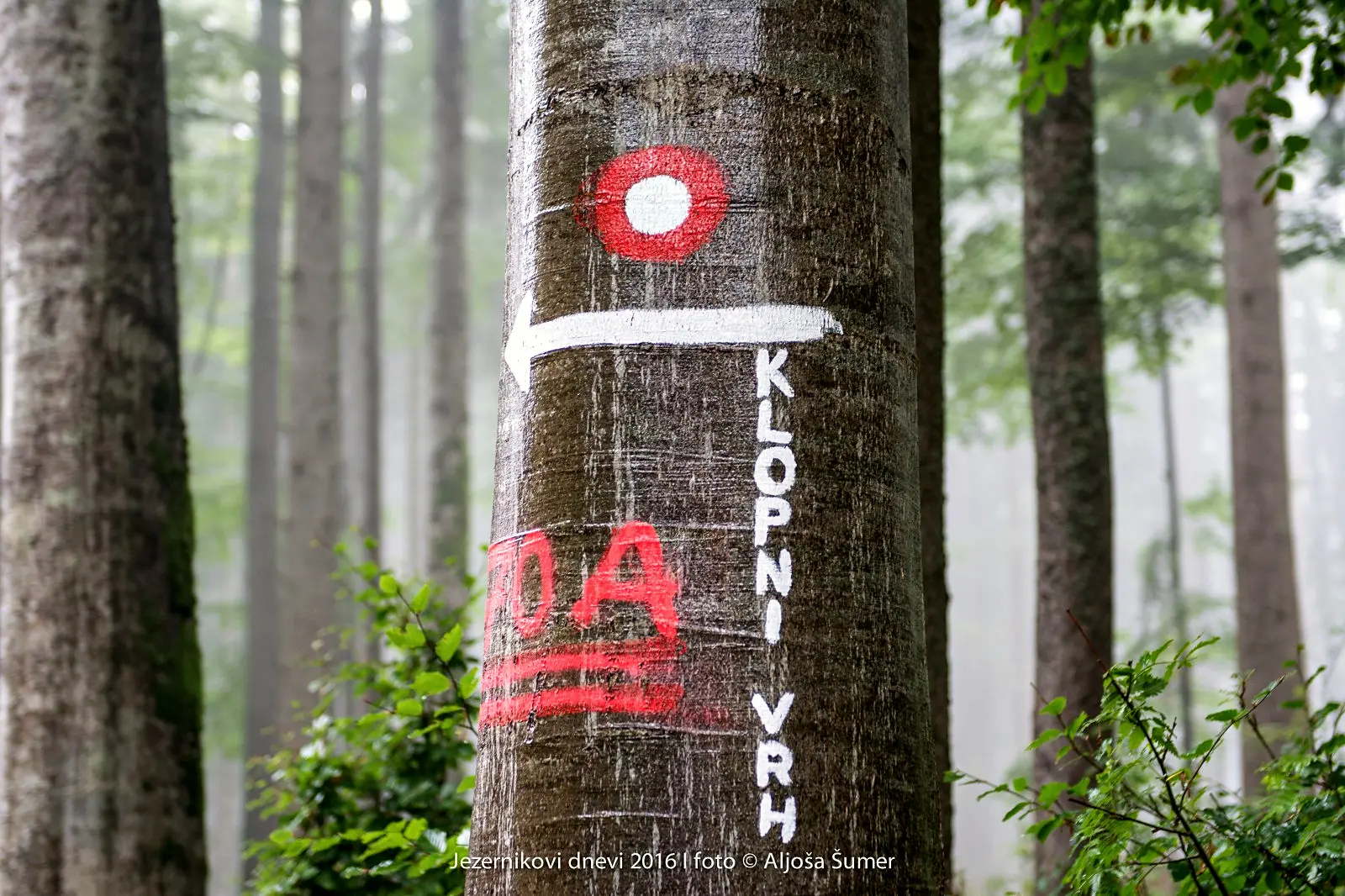
From the starting point we follow the local asphalt road towards the southern part of the Lovrenc basin. After 1400 m we cross a wooden bridge over the Radoljna stream and begin to climb along a gravel road past the last houses on the slope called Kumen. The trail leads us into a spruce forest, and after just under an hour of walking we are already at an altitude of 920 m, at the junction with the other trail from Lovrenc via Rothoba. Then follow another 200 metres of more strenuous climbing to the ridge, along which we cross the summit of Turn (1261 m), and after just under two hours of walking we reach the hut on Klopni vrh. The hut has been closed since 2018; the Slovenian Mountain Trail stamp has been moved to the summit.
From the hut it is another 15 minutes of easy walking to Klopni vrh. On the way back you can also visit the partisan memorial.
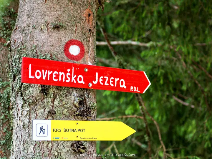
From Klopni vrh you can continue towards Areh (3 h) and Mariborsko Pohorje, towards Pesek (2 h) and on to Rogla or the Lovrenc Lakes, or return to the starting point via Zgornja brv (direction Pesek) or via Rothoba.
Route details
Lowest point: 460 m (Lovrenc Tourist Office)
Highest point: 1340 m (Klopni vrh)
Height difference: 900 m
Walking time: 2 hours 30 min for the ascent, 2 hours for the descent
Difficulty: easy trail
Literature: Pohorje map 1:50,000 (PZS)