Route description
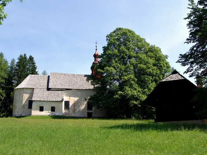
From the starting point at the Tourist Office we head towards the Parish Church of St Lawrence and on towards the old fruit-drying house known as the »pajštva«. You can visit both buildings on your own or accompanied by a local tourist guide, who will tell you many more interesting facts.
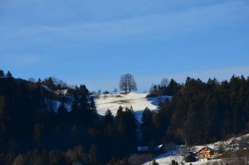
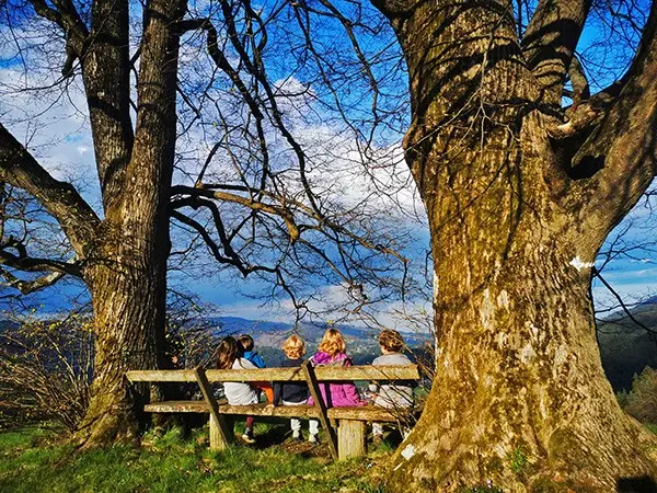
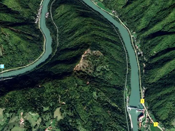
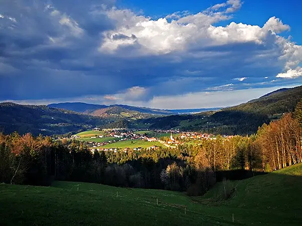
From the pajštva we continue a few hundred metres along the asphalt road to the Hojnik chapel, where we turn right onto a road through the forest. On reaching a meadow, a view of Lovrenc opens up; we continue left across the meadow and on up the hill into the forest. Not far from the Kogler farm, two mighty lime trees stand at an excellent viewpoint; the view reaches east across the Lovrenc basin to Ruše and on towards Maribor, north to Rdeči breg and west to numerous hills, including the clearly visible St Anthony above Vuhred.
From the lime trees we descend towards the Hožič farm and back to the starting point.
Route details
Lowest point: 460 m (Lovrenc Tourist Office)
Highest point: 630 m (Koglerjev vrh)
Height difference: 230 m
Walking time: 1 hour 45 min for the whole circular route
Difficulty: easy trail
Literature: Pohorje map 1:50,000 (PZS)